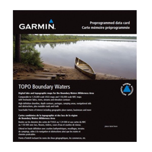
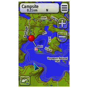
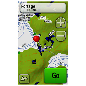
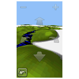
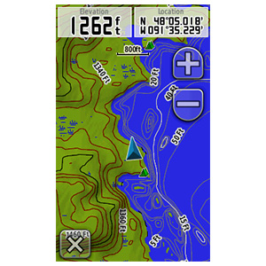
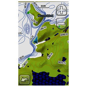
Get highly detailed inland lake and topographic maps for the Boundary Waters Canoe Area Wilderness. These maps include freshwater lakes and rivers, high-definition shorelines, underwater depth contours, terrain contours, elevations, summits, portages and camping areas.
- Provides inland lake detail, including creek channels, streams, fishing locations, boat ramps and marinas.
- Features detailed topographic maps, comparable to 1:24,000 scale USGS maps and 1:50,000 scale NRC maps.
- Provides navigational aids, wrecks, obstructions and hazards, and searchable points of interest (including geographic place names, campgrounds, entry points and businesses).
- Displays dense contour intervals combined with digital elevation model (DEM) shaded relief on compatible devices to help estimate terrain difficulty.
- Provides routable road content for accurate directions to your destination.
- Features current USGS quad names or townships, ranges and sections on your compatible device.